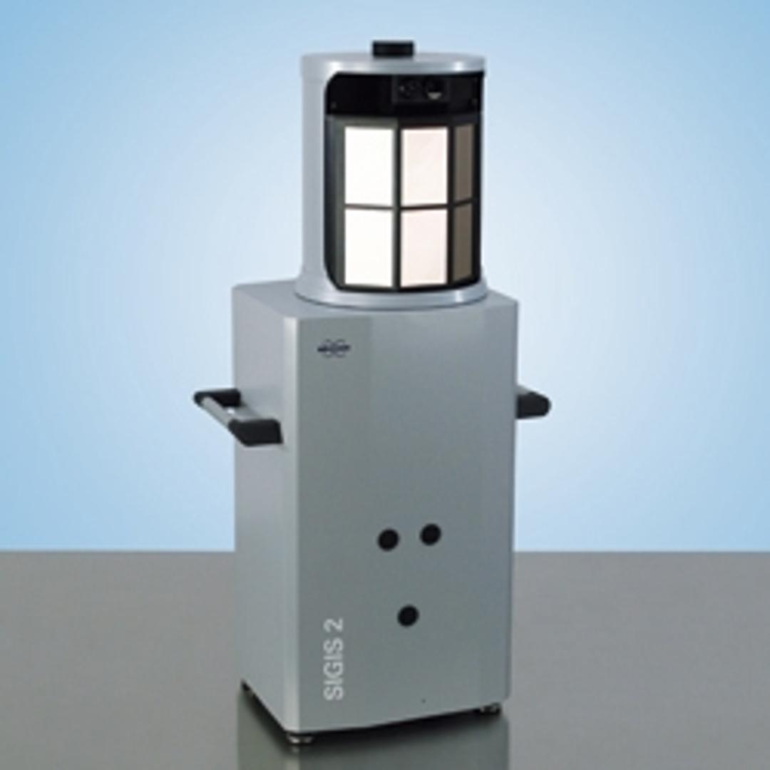
SIGIS 2 - Remote Sensing Product - FTIR
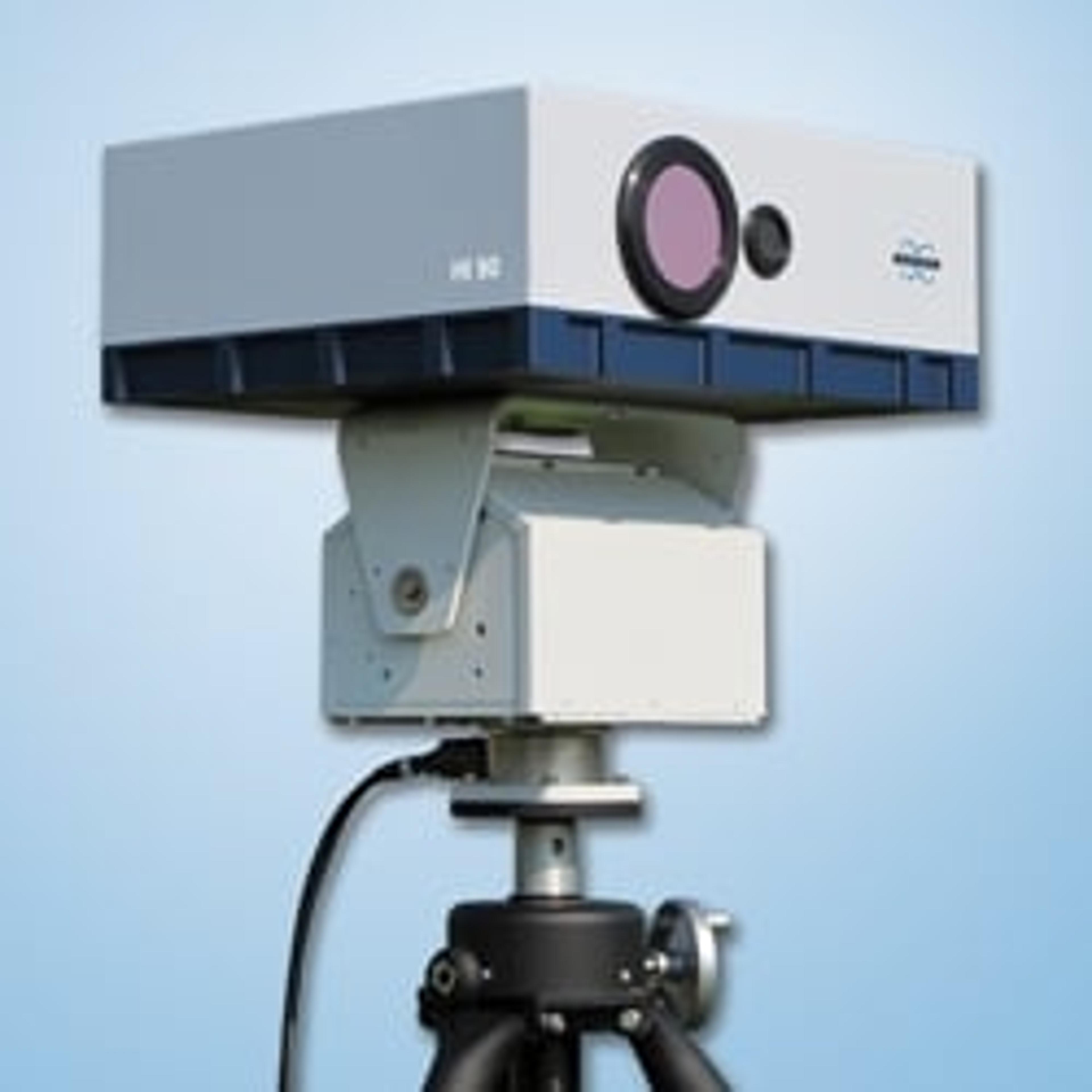
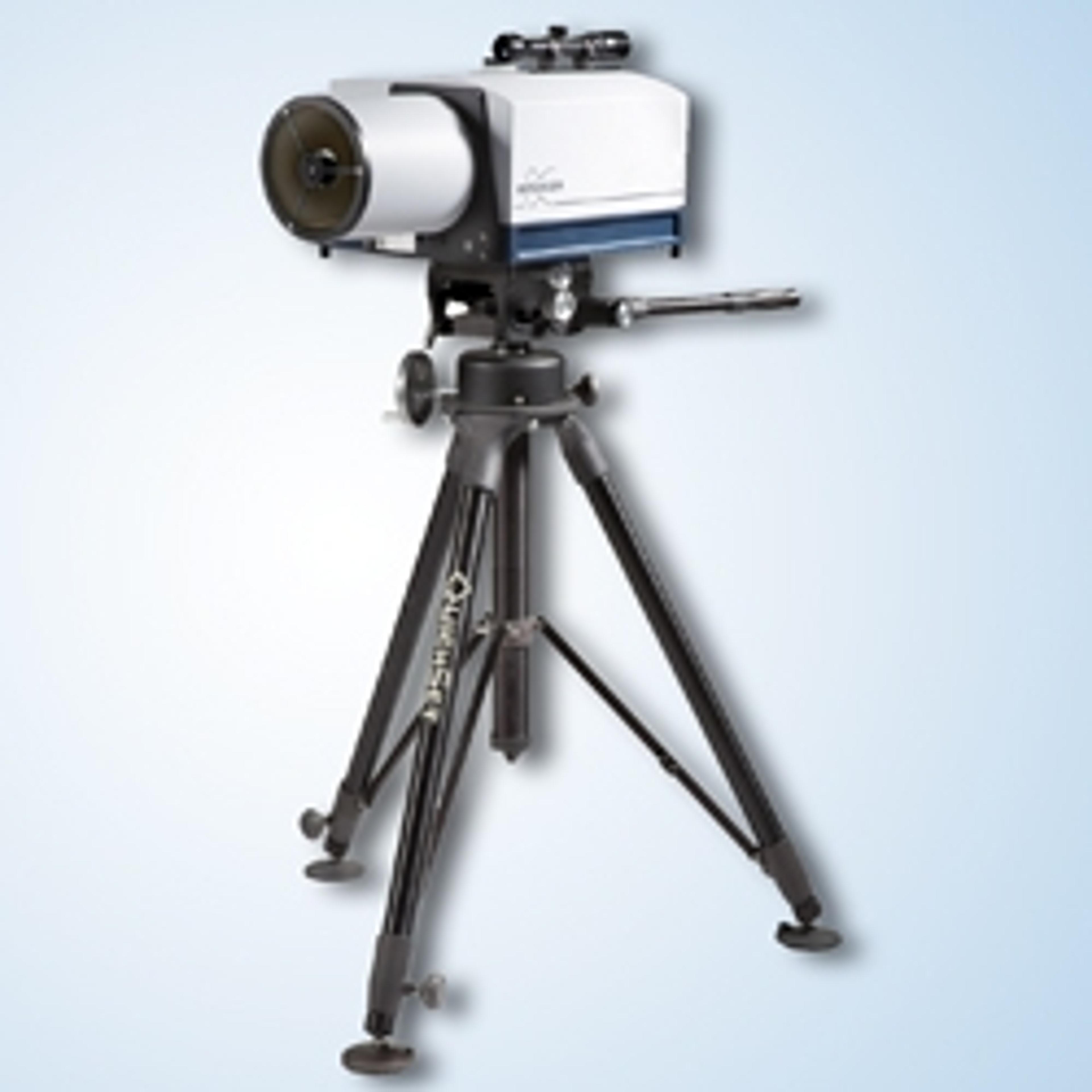
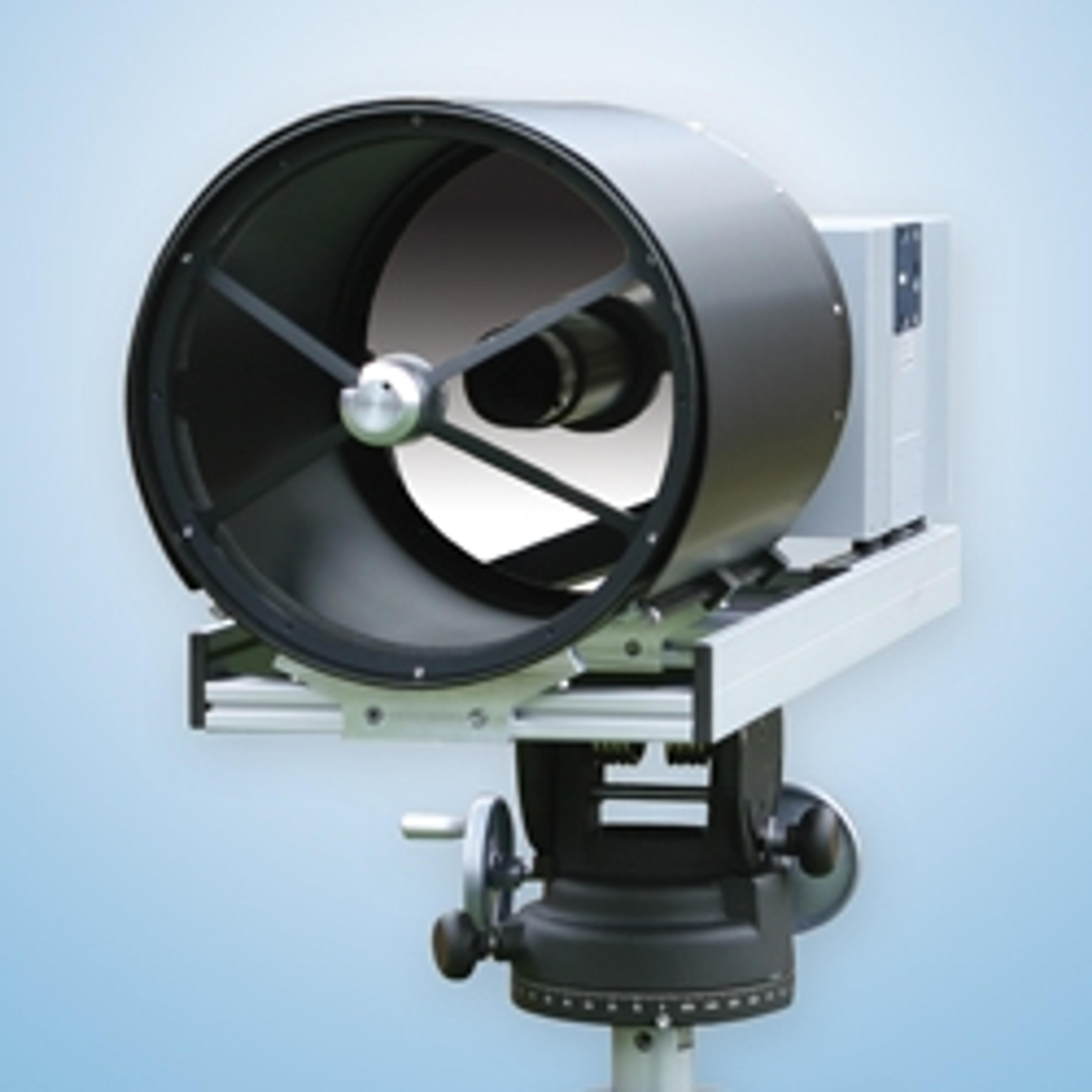
SIGIS 2 is a scanning imaging remote sensing system that allows rapid identification, quantification and visualization of gas clouds from long distances. The system maps a predefined area and results of the analysis are visualized by a video image, overlaid by a chemical image. The SIGIS 2 is part of the equipment of emergency response forces around the world. In addition, SIGIS systems are applied in environmental app…
SIGIS 2 is a scanning imaging remote sensing system that allows rapid identification, quantification and visualization of gas clouds from long distances.
The system maps a predefined area and results of the analysis are visualized by a video image, overlaid by a chemical image. The SIGIS 2 is part of the equipment of emergency response forces around the world. In addition, SIGIS systems are applied in environmental applications, atmospheric research, volcanology, and industrial facility surveillance.
SIGIS 2 Features:
- Long-range detection (integrated telescope)
- Ultra-low noise
- Highest optical throughput
- Unsurpassed detection limits
- Unique system that combines performance of single detector FTIR with imaging
- Automatic real-time identification
- Compensation of atmospheric gases and interferents
- Large spectral library (TICs, CWA optional)
- Image overlay allows simple interpretation
- Robust (deployed by emergency response forces worldwide)
- Automatic 360°-surveillance and user-defined operation
- Video- and infrared cameras for day and night use
- Complete documentation of measurement
- Scene image, spectra, compounds, position, time etc.
- Automatic transmission of data to server
- Transmission of results to command center or external experts
- Post-analysis by external experts possible

